
Published
A former coke plant is one of the heaviest industrial legacies a parcel can carry, and the part that matters least is the part that is visible. The ovens were demolished decades ago. What stayed is on the byproduct side, where coal was turned into tar, ammonia and light oils, and where the material behaves in a way that makes a site boundary close to meaningless. It is a larger relative of the former manufactured gas plant, with the same dense tar at the center of it.
What a coke plant leaves
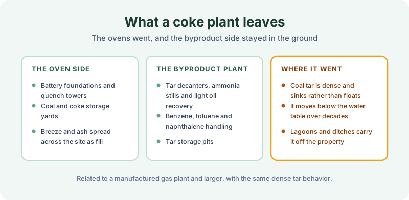
The oven side is the obvious half. Battery foundations, quench towers, coal and coke storage yards, and breeze and ash that were spread across the site as fill because they were there and they were free. That reuse is the reason the surface of a former plant frequently tells you nothing useful about where anything was.
The byproduct plant is the half that defines the site. Tar decanters, ammonia stills and light oil recovery, handling benzene, toluene, naphthalene and a long list of related compounds, with tar storage pits alongside. Those operations ran continuously for decades, and the losses at each transfer point were routine rather than exceptional.
And coal tar behaves awkwardly. It is denser than water, so it sinks rather than floats, and it can continue moving downward through soil and below the water table for decades after the plant closed. Lagoons and drainage ditches carried it off the property while the plant ran. The practical consequence is that the condition is not confined to the parcel, which is the situation our note on adjoining property searches addresses. Characterizing any of it is the environmental professional’s work, not the abstractor’s.
Filings worth hunting for
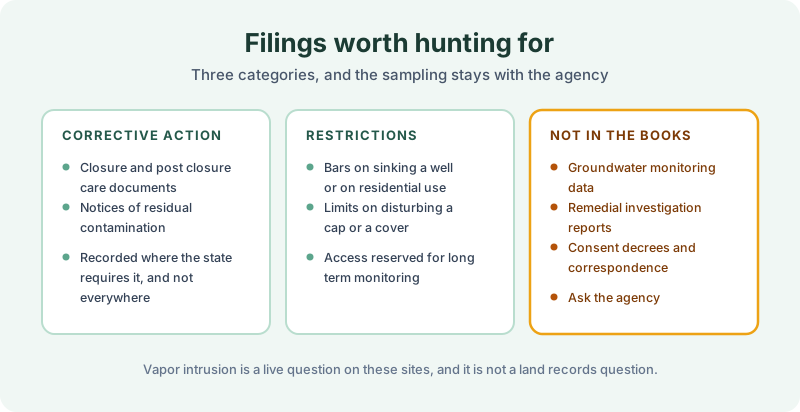
Corrective action and closure documents appear where a state records enrollment, a closure certification, or a notice of residual contamination in the county books. Practice is uneven, and plenty of states record nothing, so the absence of a filing says more about the state than about the site.
Recorded restrictions are the consequential category. Bars on sinking a well or on residential use, limits on disturbing a cap or cover, and access reserved for long term monitoring. Those are the instruments described in our note on environmental covenants and UECA, and the well restriction overlaps with groundwater use restrictions.
Cost recovery liens secure public money already spent, and on a site of this scale the sums involved are rarely small. They may run against the parcel, against an operator, or against both, and a search turns up whichever reached the index.
What stays with the regulator is everything technical. Monitoring data, remedial investigation reports, consent decrees and correspondence sit in agency files, and several states track institutional controls in a database rather than in the county books, which is why our note on institutional control registries treats them as separate searches. Vapor intrusion is a live question on these sites and it is not a land records question at all, which our note on vapor intrusion and recorded use restrictions covers.
Scoping the search
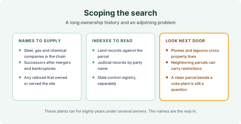
These plants ran for seventy or eighty years, often under a steel company, sometimes under a gas or chemical company, and frequently under several in succession after mergers, acquisitions and at least one bankruptcy. A railroad may have owned or served the site as well. Supply every name, because an enforcement action or judgment against a former operator sits in a court index organized by party name, which is the dependency our note on judicial records describes.
Then look next door. Where a plume or a lagoon crossed a line, neighboring parcels can carry their own restrictions, and a parcel beside a former coke plant is a question even when its own record is clean. Residential ground developed next to a closed plant in the 1990s is the common version of this, and the restrictions sometimes landed on the development rather than on the plant.
Read the result honestly. A search reports what was recorded and indexed over the term searched, and nothing found is not proof that nothing exists. The FAQ covers thin and unindexed counties, and a sample report shows the format.
The 1980 Environmental Lien & AUL report is the record half of this work. Certified title abstractors review land title and judicial records from 1980 to the present and document every environmental lien, encumbrance, and AUL found, with the recorded instruments attached. It is $425, delivered by email in 3–5 business days. Order online.
Get an E1527-21 compliant lien & AUL report
Our 1980 Environmental Lien & AUL reports are researched by certified title abstractors, cover judicial records, and are guaranteed accurate. Delivered in 3–5 business days.
or call 877-848-5337